Big Sky Trail
|
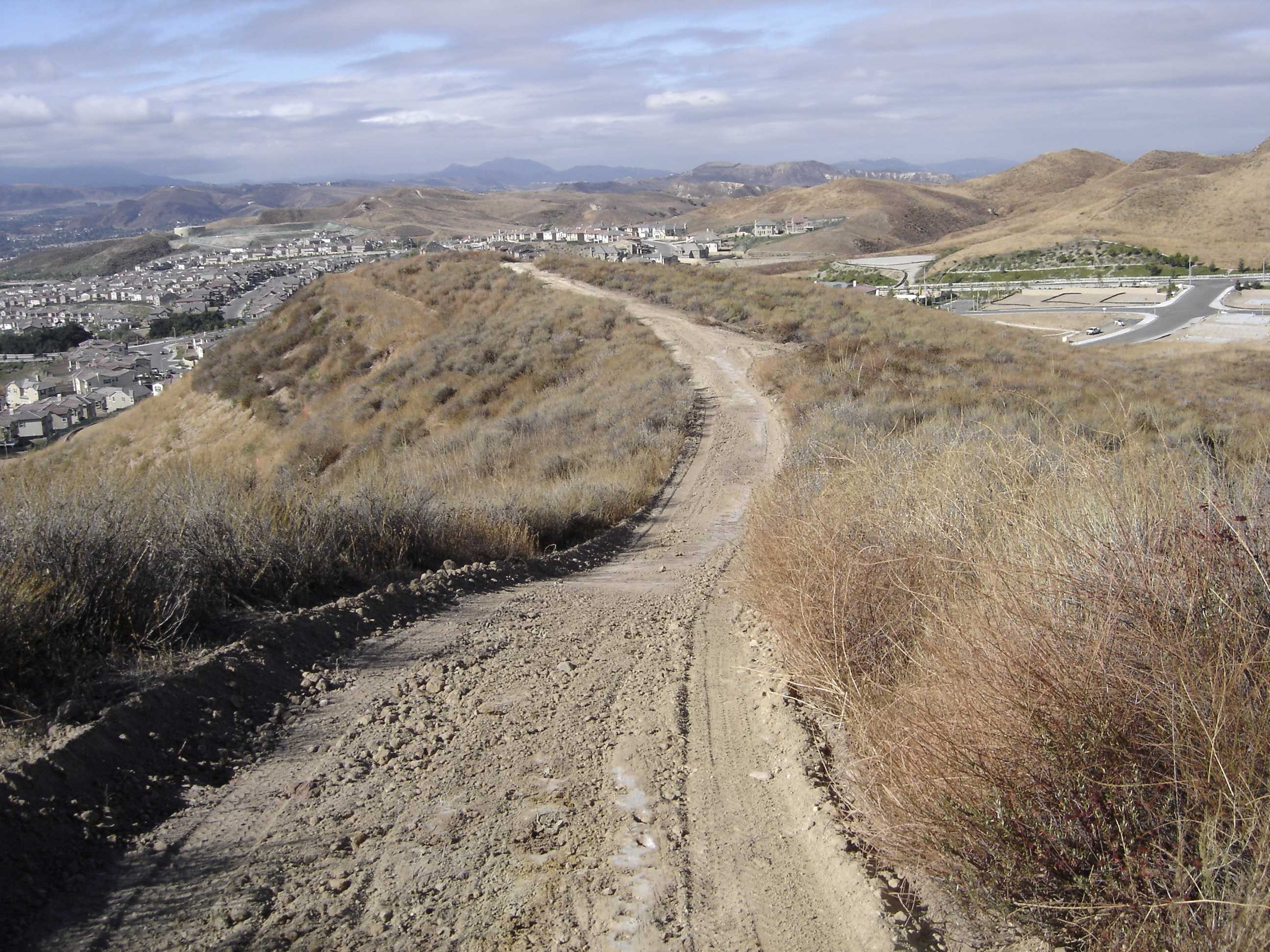
The trail has approximately 3.5 miles of total surface and begins at any of its many trailheads. Four of those occur where the trail is interrupted by roadways. At the south, the trail starts on the eastern side of Erringer Road north of the elaborate water pumping station and north of the fire station. The trail soon crosses the stream bed. From there one can continue to the top of the ridge to the east or continue on the trail northwesterly along the east side of the water course. The ridge route extends northerly all the way to Lost Canyons Drive. From there the other half of the full trail extends southerly back to the trailhead near the fire station.
Location
Big Sky Trail is located in the northeast sector of Simi Valley. There are two main trailhead entries amongst many, one north and one south. The north trailhead can be accessed from Lost Canyons Drive, 700 feet west of Goldstone Lane and the southern trailhead is located on Erringer Drive, end of Falcon Street heading east.
|
Trail Safety Tips
Map (3D)
Map (Satellite)
Trail Info