Runkle Canyon Trail
|
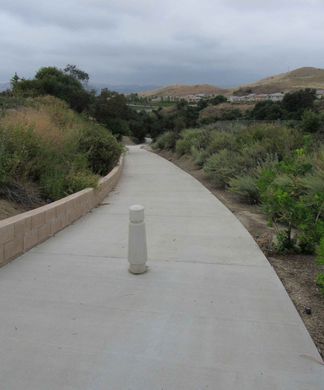
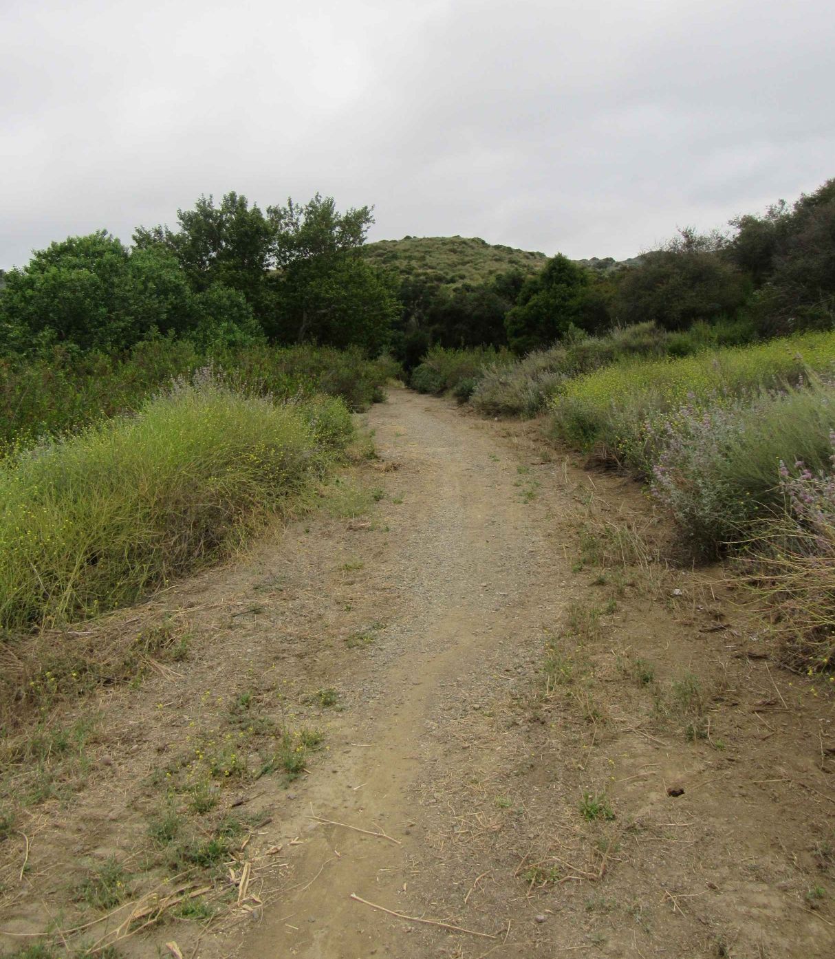
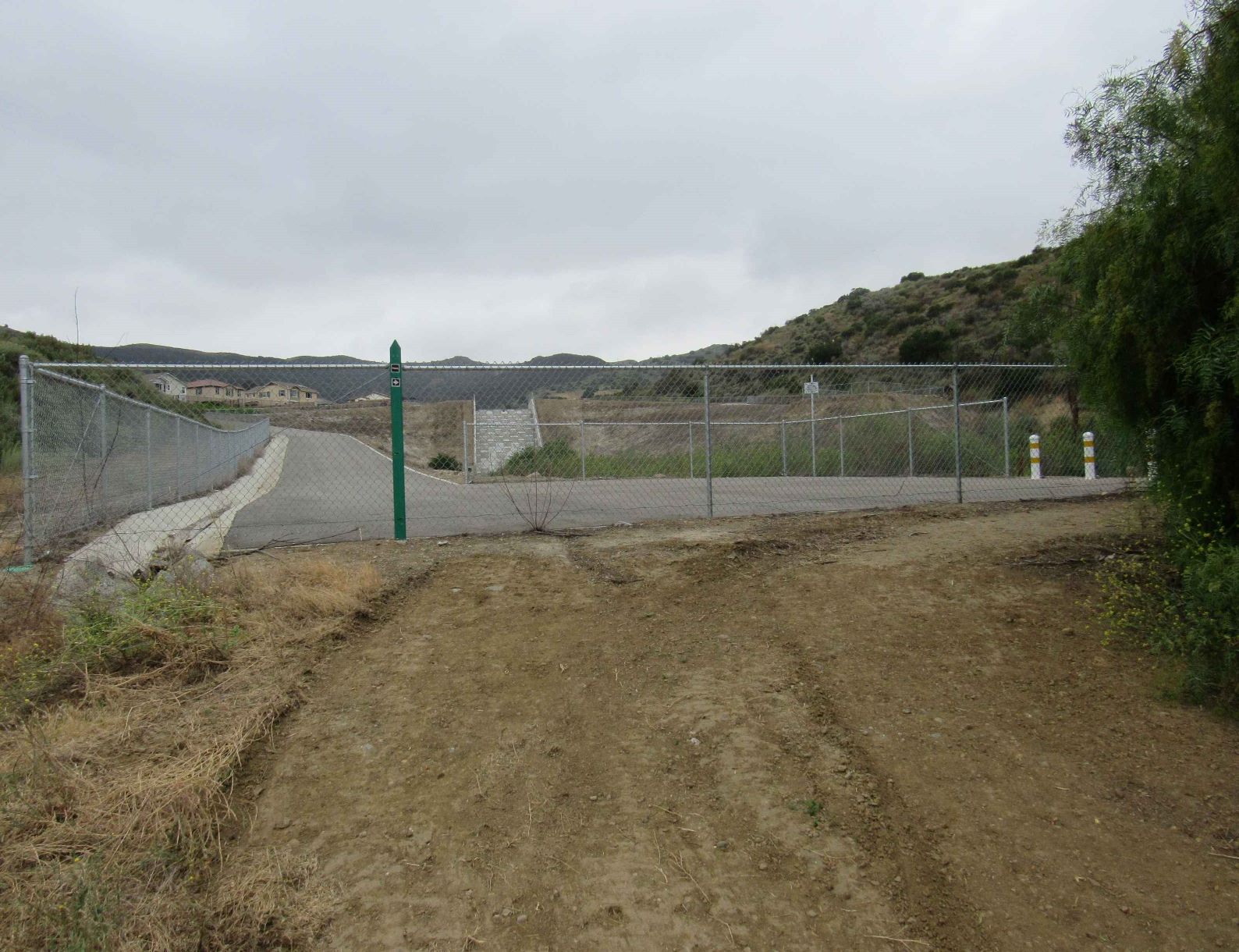
The trail runs south-southeast down the western side of the canyon past the stormwater detention basin to just below the cascade structure (about 3/4 of a mile), where the trail switches to the eastern side of the canyon bottom. The trail there rises as a well-maintained road over the high point on the cascade structure and then continues to the south southeast for about a half a mile, where it turns to the southeast through the old quarry and then up into the hills for more than a mile onto the rolling uplands west of Burro Flats.
Location
The trail is located at the south-central portion of Simi Valley. The trail can be accessed via two trailheads: One from Runkle Canyon Park (lower) and the other is accessed 750 ft. west from the corner of Sequoia Ave. and Fir Ave.; the trail is on your left - please follow the paved roads.
|
Trail Safety Tips
Map (3D)
Map (Satellite)
Trail Info